Cheshire
Including Chester, Stockport, Ellesmere Port, Birkenhead, Wallasey, Runcorn, Macclesfield, Crewe
|
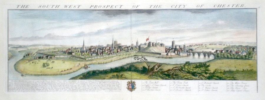
Cheshire 'The South West Prospect of The City of Chester' Buck S & N. (c. 1728) 70 x 25 Superb town prospect, from the series started by Samuel and Nathaniel Buck in 1727 and finished in 1742. The brothers traveled England and later Wales recording notable ancient cities and monuments. The series is generally regarded as a tour de force of English engraving. Here Chester is recorded as seen from the South West. Of particular interest is the Chester racecourse with racing actually in progress. Later hand colour. In excellent condition with wide margins. 395.00 GBP |


|
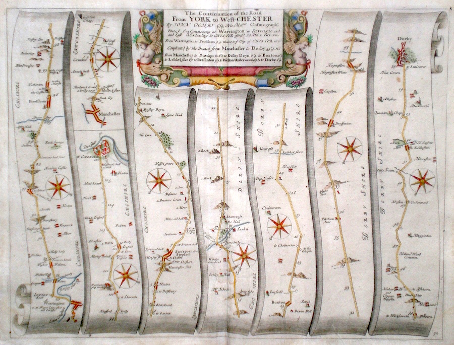
Cheshire 'The Continuation of the Road from York to West Chester...' Ogilby, J. (1698) 45 x 35 The road from Warrington to Frodsham, Chester. The Road from Manchester to Stockport, Buxton, Braffington, Kedleston, Derby. From John Ogilby's Britannia, generally considered one of the most important cartographical works of the seventeenth century. Features include town plans of Derby, Chester and a fine cartouche. Later colour. Plate number 90. Excellent condition 170.00 GBP |
||||||||||||||
|
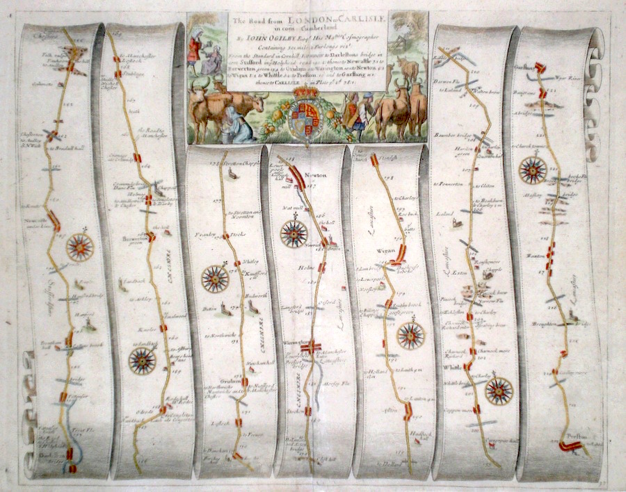
Cheshire 'The Road from London to Carlisle in com. Cumberland' Ogilby, J. (1698) 42 x 34 The road from Darleston to Newcastle under Lyme, Brewerton, Warrington, Newton, Wigan,Whittle, Preston, Garstang. From John Ogilby's Britannia, generally considered one of the most important cartographical works of the seventeenth century. Features include a fine cartouche of Cattle herding and rural life. Later colour. Plate number 37. Fine condition 170.00 GBP |
||||||||||||||


|
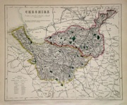
Cheshire 'Bowles's New Medium Map of Cheshire...' Bowen, E. & T. (1785) 33 x 23 Finely engraved and detailed map of the county from "Bowles's New Medium English Atlas". The maps in this series are based on those in Emanuel and Thomas Bowen's Atlas Anglicanus, and feature extensive county information on the map. They are distinguished primarily by having newly engraved cartouches, distances from London added to towns, and different imprints at the bottom. Full original colour. Fine condition. 120.00 GBP |
||||||||||||||

|
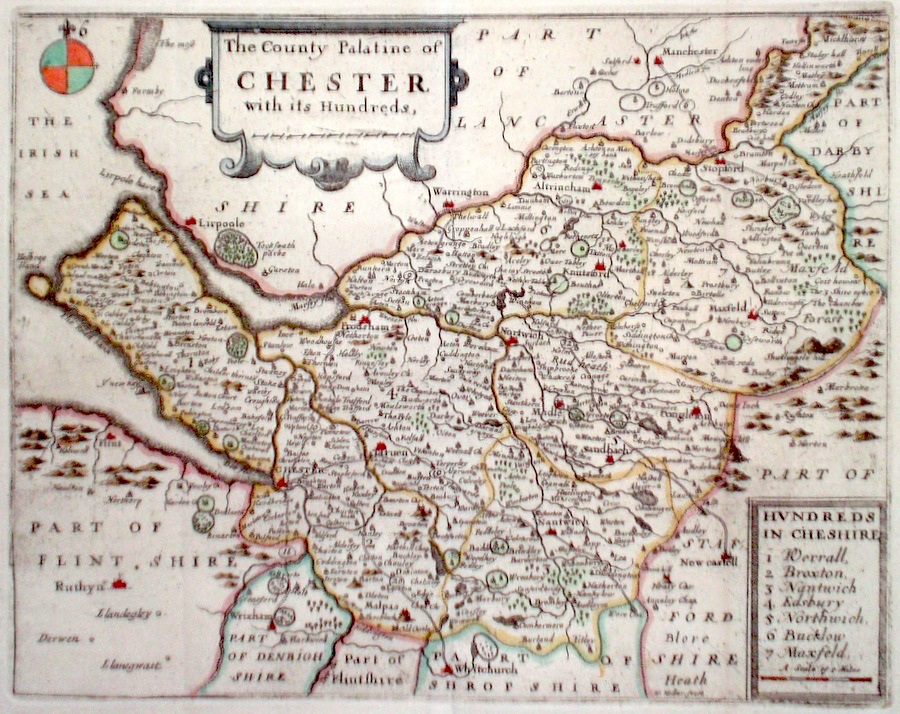
Cheshire 'The County Palatine of Chester with its Hundreds' Hollar, W. (c. 1731) 24 x 19 Finely engraved map of the county by Wenceslaus Hollar from the atlas "England Exactly Described or a Guide to Travellers…" first published by Thomas Taylor, but herewith from the later edition published by Thomas Bakewell. A major addition to the earlier plates is that roads and distances betweentowns are now included, after the road surveys of John Ogilby. Fine condition. Later colour 120.00 GBP |
||||||||||||||
|
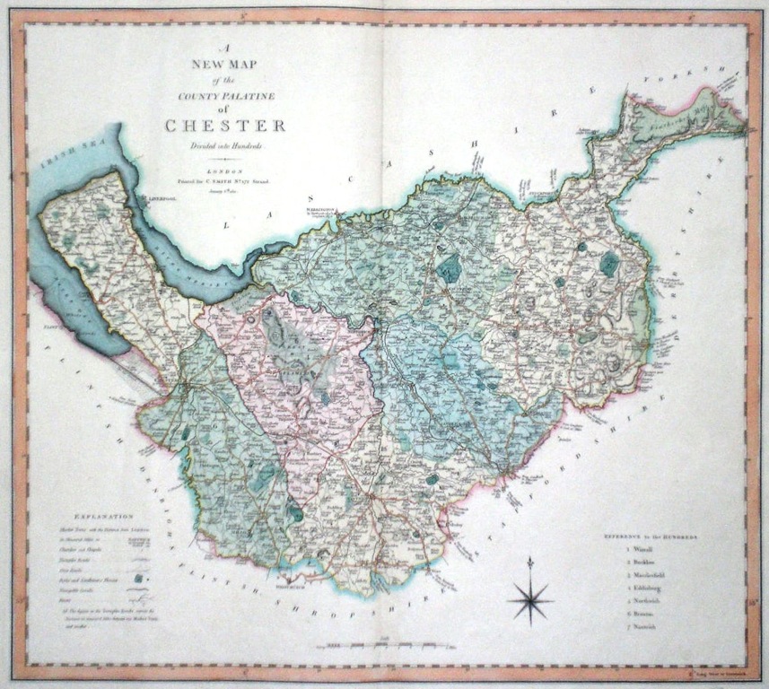
Cheshire 'A New Map of the County Palatine of Chester' Smith, C. (1804) 51 x 46 Large size and decorative map of the County by Jones, Smith & Co. for Smith's New English Atlas. The first map of the County to show longitudes measured from the meridian of Greenwich. Original colour. 100.00 GBP |
|
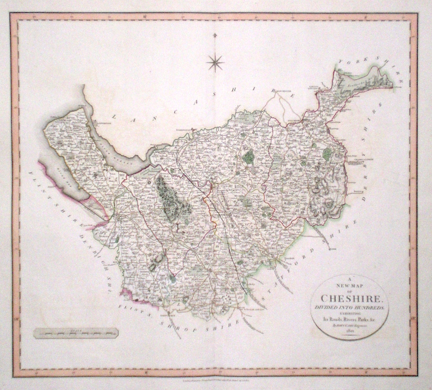
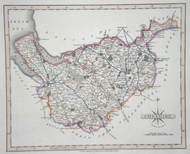
Cheshire 'A New Map of Cheshire divided into Hundreds exhibiting its Roads, Rivers, Parks...' Cary, J. (1809) 54 x 49 Superbly engraved map of the county by John Cary. From "Cary's New English Atlas". The atlas was issued in parts from 1801 to 1809 and published as a complete work in 1809. Very fine original hand colour. 95.00 GBP |
|
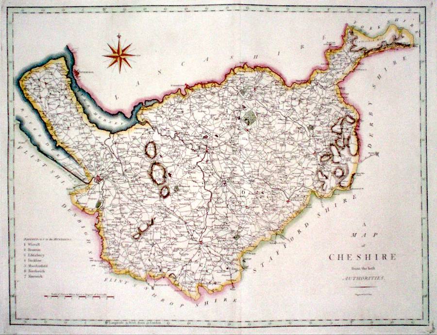
Cheshire 'A Map of Cheshire from the Best Authorities' Cary, J. (1789) 52 x 39 Finely engraved double page map of the county by John Cary for the first edition of Richard Gough's translation of Camden's Britannia. A dark impression with good margins all round. Later colour 80.00 GBP |
|
Cheshire Moll, H. (c. 1724) 32 x 20 Finely engraved map of the county by Herman Moll for the publication "A New Description of England and Wales…" The maps in this series include engraved borders of local architechtural and antiquarian interest. A unique feature. On this map various ancient and ecclesiastical monuments. Later colour, fine condition. 70.00 GBP |

|
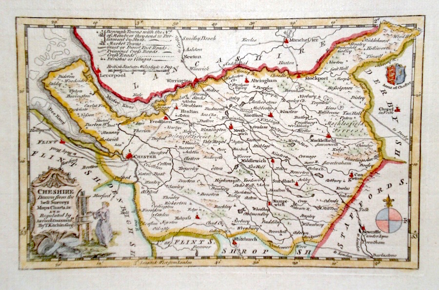
Cheshire 'Cheshire Drawn from the Best Surveys...' Kitchen, T. (c. 1769) 23 x 14 Finely engraved map of the county by Thomas Kitchen for the publication "England Displayed". The cartouche, shows a local rural scene. Later colour 60.00 GBP |
|
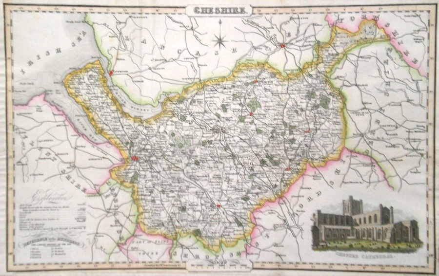
Cheshire Pigot, J. (c. 1826) 36 x 23 Finely engraved map of the county by James Pigot and Co. An early edition ca. 1826. A particular feature of this series of county maps is the attractive accompanying vignette. In this case a view of Chester Cathedral. Re-margined to the left, generally good condition. Later colour 50.00 GBP |
|
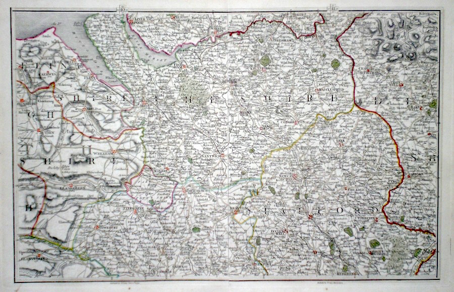
Cheshire Cary, J. (c. 1794) 40 x 26 Cheshire area map by John Cary from his British Atlas. Two maps conjoined to make one larger one, to show north Staffordshire and north Shropshire, west Derbyshire etc. Original colour 50.00 GBP |
|
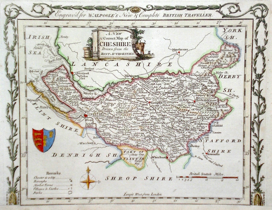
Cheshire 'A New & Correct Map of Cheshire Drawn from the Best Authorities…' Conder, T. (1784) 23 x 18 Finely engraved and decorative map of the County by Thomas Conder for the publication "The New British Traveller". Features include a cartouche of a rural scene and coat of arms. Later colour 50.00 GBP |
|
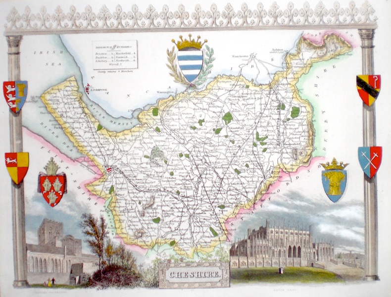
Cheshire Moule, T. (c. 1845) 26 x 20 Decorative Steel engraved map of the county by Thomas Moule. Inset views of Chester cathedral and Eaton Hall. Later colour. 50.00 GBP |
|
Cheshire Cary, J. (1821) 27 x 22 Finely engraved map of the county by John Cary from the 1821 edition of his New and Correct Atlas. Excellent condition with particularly fine original colour. 50.00 GBP |
|
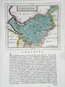
Cheshire Seller, J. (c. 1795) 15 x 13 Attractive copperplate map of the county. Text below and verso. Strong early colour. 50.00 GBP |
|
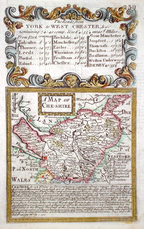
Cheshire 'A Map of Cheshire' Bowen, E. (c. 1724) 12 x 19 Finely engraved map of the county by Emanuel Bowen and John Owen for the publication "Britannia Depicta". To the top are given details of the Road from York to West Chester and verso a section of the road from York to Wakefield is engraved. After John Ogilby. Later colour 45.00 GBP |
|
Cheshire Stockdale, J. (c. 1794) 26 x 21 Attractive and detailed map of the county by John Stockdale. Later colour 40.00 GBP |

|
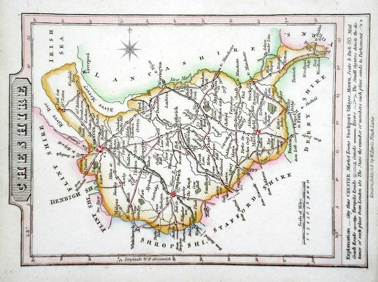
Cheshire Lewis, W. (c. 1835) 14 x 10 Detailed and attractive miniature map of the County by William Lewis for his "Lewis's New Traveller's Guide". A particular feature of this charming series of maps is the clear and precise engraving of the roads. Adjacent numbers indicating the distances from London. Also included with the map is the accompanying page of text giving the county information relevant to travellers- principal towns and inns are listed, distances between towns, principal fair dates, and even sites for the best views of the county. Later colour. 40.00 GBP |
|
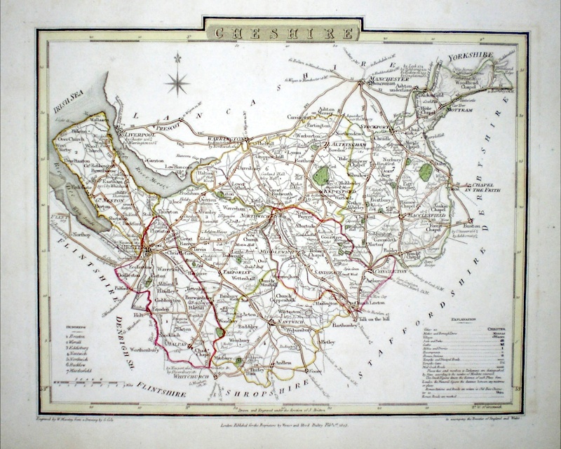
Cheshire Roper, J. (1810) 24 x 18 Detailed and decorative map of the county by Cole and Roper for The British Atlas. Original hand colouring. Excellent condition. 40.00 GBP |
|
Cheshire Becker, F. (c. 1842) 34 x 28 Detailed steel engraved map of the county with original colour. Published in Fisherís County Atlas, the only cartographical work from this company. 40.00 GBP |