The Americas
|
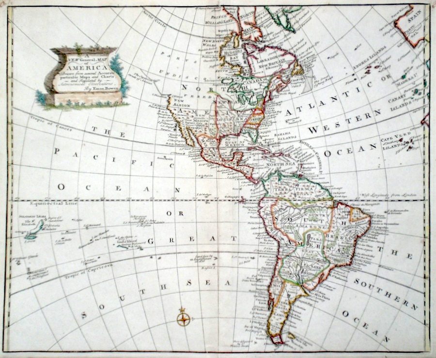
The Americas 'A New General Map of America...' Bowen, E. (1766) 43 x 36 Superb map of the American continent by Emanuel Bowen. Shows the coastlines of North and South America in detail including Drake's Port in California. Substantial areas of the Atlantic as far east as Spain are mapped and Pacific ocean as far as the Soloman Islands. Condition excellent later colour. 450.00 GBP |


|
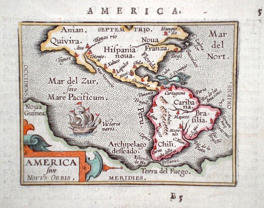
The Americas 'America sive Novus Orbis' Ortelius, A. (c. 1603) 10 x 8.5 Fine early map of America by Abraham Ortelius, engraved in small format by Philippe Galle, and published in the Epitome, or pocket-edition of the "Theatrum Orbis Terrarum". This map from an English text edition of c1603 published in London and thus one of the first world atlases published in England. Features include- more accurate depiction of the south American coastline than the first Ortelius Plate. California correctly depicted as a peninsula unlike much later cartography which depicted California as an Island. Mexico City depicted as being in an existing lake instead of a dry one. Large land mass at the south which includes Nova Guinea. A rare item in fine condition. Later colour 350.00 GBP |
|
The Americas 'A Map of America with the Latest Discoveries' Neele, J. Adam's Geography (1824 Ed.) 23 x 19.5 Folding map of North and South America. 85.00 GBP |

|
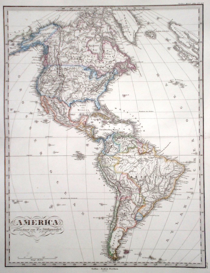
The Americas
Perthes, J. (1868) 31 x 41 Finely lithographed and detailed map covering North and South America. By Justus Perthes for Stieler's Hand-Atlas. Original colouring, excellent condition. 75.00 GBP |