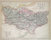
Kent
Including Maidstone, Canterbury, Bromley, Rochester, Margate, Folkestone, Dover
|
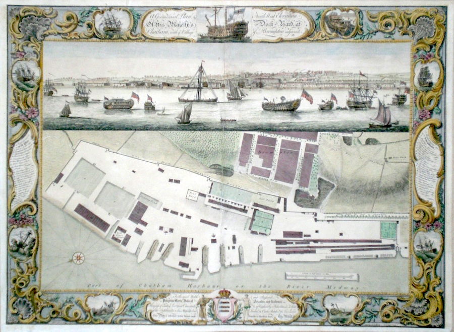
Kent 'A Geometrical Plan and North West Elevation of His Majesty's Dockyard at Chatham with ye village of Brompton' Milton, T. (c. 1753) 66 x 47 Very fine engraving of The Chatham Dock surveyed and drawn by Thomas Milton and engraved by P C Canot. The lower section is a fine plan of the dock and the upper section shows the view of the dock from across the River Medway. To the left is a list of references to the plan and to the right is a list of references to the elevation. The border is finely decorated and contains nine vignette views of shipbuilding, and shipping at sea. Chatham was one of the most important Naval dockyards from Tudor times. Condition good. On heavy paper, expertly backed with archive tissue. Later colour. 495.00 GBP |


|
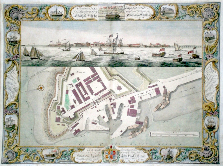
Kent 'A Geometrical Plan and West Elevation of His Majesty's Dockyard & Garrison at Sheerness with the Ordnance Wharfe' Milton, T. (c. 1753) 66 x 47 Very fine engraving of The Sheerness Dock surveyed and drawn by Thomas Milton and engraved by P C Canot. The lower section is a fine plan of the dock Ordnance Wharfe and Garrison and the upper section shows the view of the dock from across the entrance to the River Medway. To the left is a list of references to the plan and to the right is a list of references to the elevation. The border is finely decorated and contains nine vignette views of shipbuilding, and shipping at sea. Sheerness was one of the most important Naval dockyards from Tudor times. Condition generally good. On heavy paper, backed with archive tissue. Some minor damage expertly repaired. Later colour. 495.00 GBP |
|
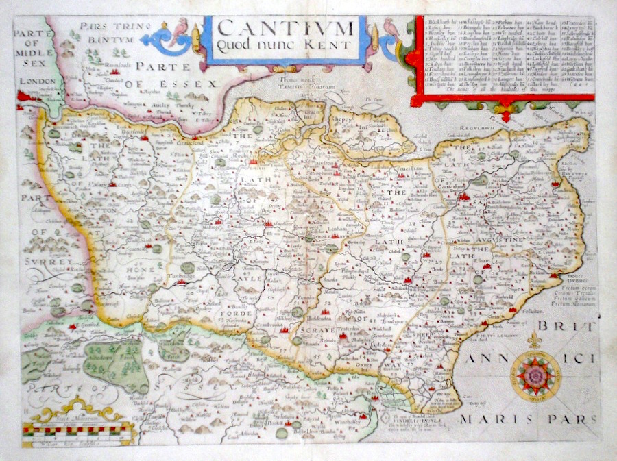
Kent 'Cantium quod nunc Kent...' Kip, W. (1637) 38 x 28 Finely engraved map of the county by William Kip after the survey of John Norden. Features include (top right) a key detailing no less than sixty-four "hundreds". Later colour. Excellent condition. 250.00 GBP |
|
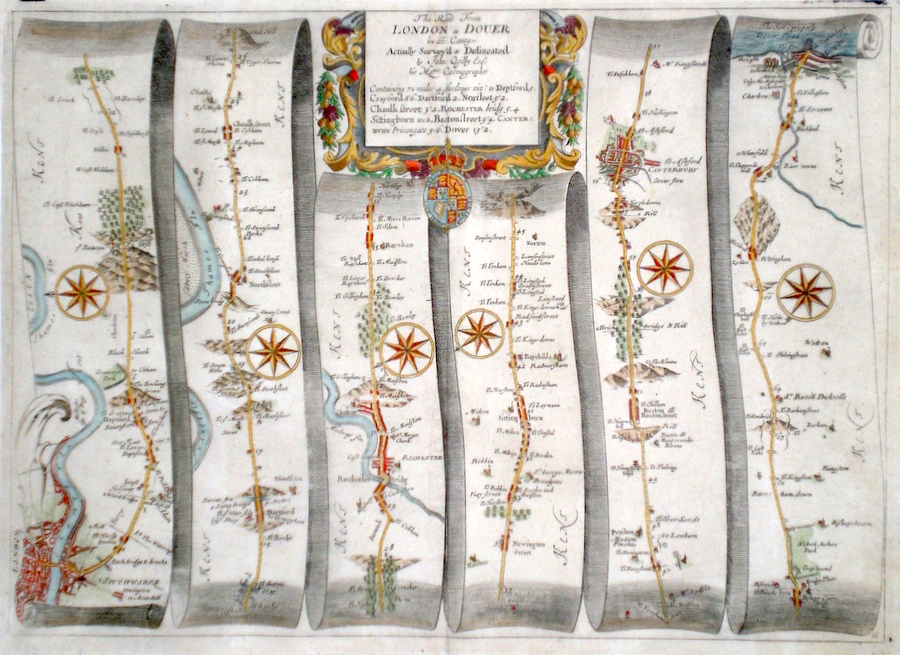
Kent 'The Road from London to Dover in Co. Canty-' Ogilby, J. (1698) 45 x 33 The road from London Southwark to Deptford, Dartford, Rochester, Canterbury, Dover. From John Ogilby's Britannia, generally considered one of the most important cartographical works of the seventeenth century. Features include miniature town plans of London, Rochester, Canterbury, Dover and a fine cartouche. Later colour. Plate number 18. Excellent condition. 235.00 GBP |
|
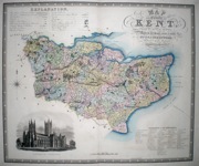
Kent 'Map of the County of Kent, from an Actual Survey made in the years 1819 and 1820' Neele, J & J. (1829) 70 x 58 Finely engraved and detailed map of the county by Christopher and John Greenwood. The brothers published their county maps from their original surveys over the period 1817 until 1833, and then in 1834 as an atlas. With their large size, accuracy and decorative vignettes the maps are generally recognised as being amongst the finest published in England in the nineteenth century. On this map the vignette is of Canterbury Cathedral. Original hand colouring. 185.00 GBP |

|
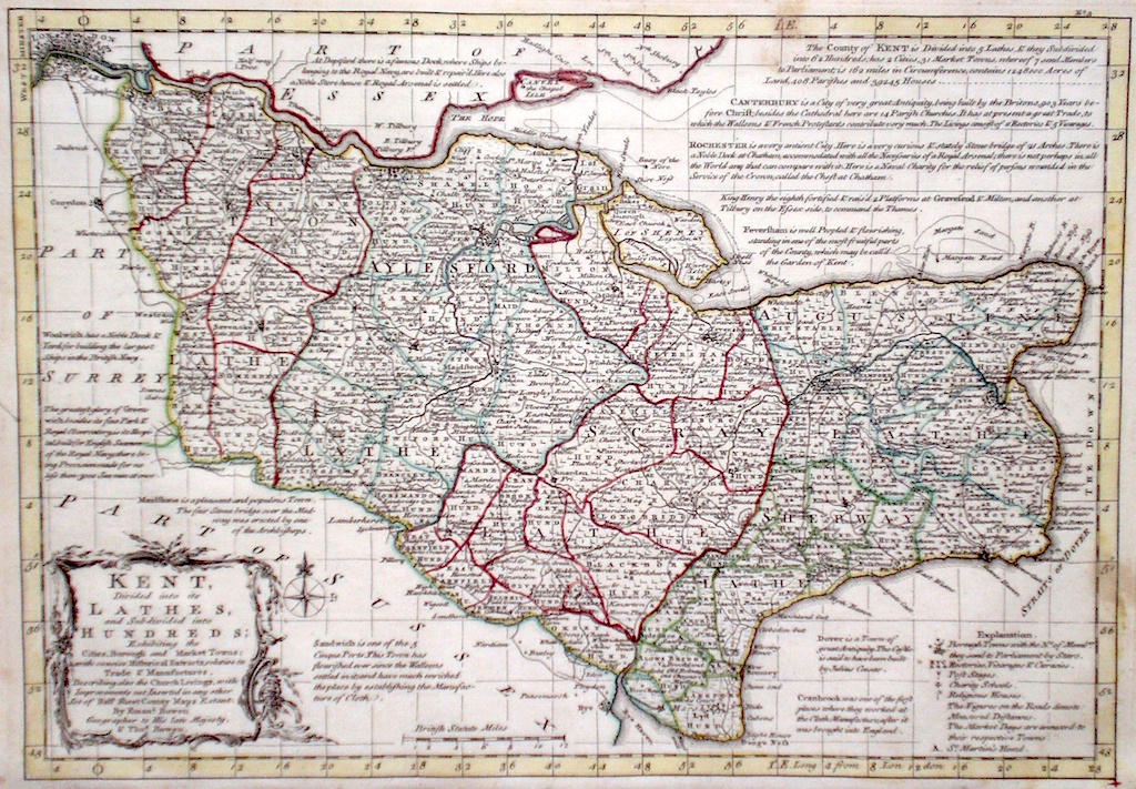
Kent 'Kent divided into its Lathes' Bowen E. & T. (1767) 33 x 22.5 Very finely engraved map of the County by Emanuel and Thomas Bowen from the "Atlas Anglicanus". The maps are generally derived from those in "The Large English Atlas", and extensive county information accompanying the maps is also a feature of this series. A rare item. Bright original colouring. 175.00 GBP |
|
Kent 'A Map of the County of Kent' Greenwood, C & J (1829) 70.5 x 58.5 Fine original wash colour, vignette of Canterbury Cathedral, good margins, minimal offsetting. 250.00 GBP |
|
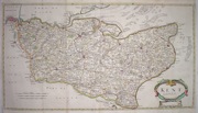
Kent 'Kent by Robt. Morden' Morden, R. (1722) 63 x 35 Finely engraved map of the county by Robert Morden. From the 1722 edition of Camden's Britannia. A very detailed map with numerous miniature town plans. Excellent condition. Later colour 185.00 GBP |
|
Kent 'Bowles's New Medium Map of Kent...' Bowen, E. & T. (1785) 33 x 23 Finely engraved and detailed map of the county from "Bowles's New Medium English Atlas". The maps in this series are based on those in Emanuel and Thomas Bowen's Atlas Anglicanus, and feature extensive county information on the map. They are distinguished primarily by having newly engraved cartouches, distances from London added to towns, and different imprints at the bottom. Full original colour. Fine condition. 175.00 GBP |
||||||||||||||

|
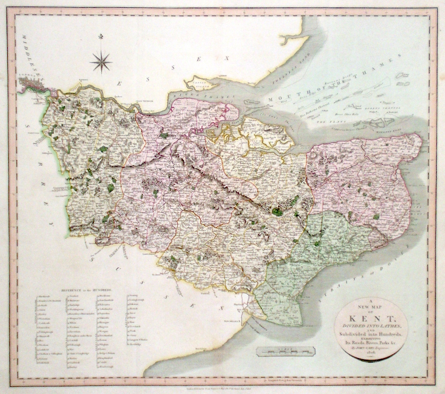
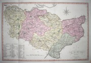
Kent 'A New Map of Kent divided into Hundreds exhibiting its Roads, Rivers, Parks...' Cary, J. (1809) 54 x 49 Superbly engraved map of the county by John Cary. From "Cary's New English Atlas". The atlas was issued in parts from 1801 to 1809 and published as a complete work in 1809. Very fine original hand colour. 140.00 GBP |
|
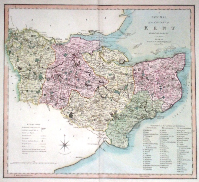
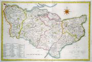
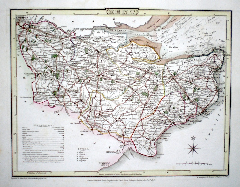
Kent 'A New Map of the County of Kent divided into Lathes &c.' Smith, C. (1804) 50 x 45 Large size and decorative map of the County by Jones, Smith & Co. for Smith`s New English Atlas. The first map of the County to show longitudes measured from the meridian of Greenwich. Very fine original hand colouring. 120.00 GBP |
|
Kent 'A Mapp of Kent with its Laths and Hundreds…. ' Blome, R. (c. 1731) 23 x 19 Finely engraved map of the county by Richard Blome from the atlas "England Exactly Described or a Guide to Travellers…" first published by Thomas Taylor, but herewith from the later edition published by Thomas Bakewell. A major addition to the earlier plates is that roads and distances between towns are now included, after the road surveys of John Ogilby. Here Bakewell has not removed the name of Blome from the plate as is usually the case. Fine condition. Later colour 120.00 GBP |

|
Kent 'A Map of Kent from the Best Authorities' Stockdale, J (1805) 51 x 35 Crisp copy with full body colour, good margins, two longitudinal folds. 110.00 GBP |
|
Kent 'A Map of Kent from the Best Authorities' Cary, J. Camden's Britannia (1789) 51.5 x 35 Finely engraved, double page map, good margins. 85.00 GBP |
|
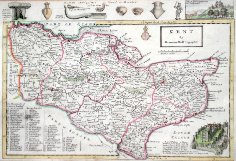
Kent Moll, H. (c. 1724) 32 x 21 Finely engraved map of the county by Herman Moll for the publication "A New Description of England and Wales…" The maps in this series include engraved borders of local architectural and antiquarian interest. A unique feature. To the top on this map a view of the Royal Observatory at Greenwich, and Roman antiquities etc. Lower right, view of Dover Castle. Later colour, fine condition. 85.00 GBP |
|
Kent Rocque, J. (c. 1769) 20 x 16 Finely engraved map of the county by John Rocque for the publication "England Displayed". The Illustration bottom left is of Dover Castle. Later colour 68.00 GBP |

|
Canterbury Roper, J. (1810) 24 x 18 Detailed and decorative plan of the city by John Roper after the drawing of George Cole, from “The British Atlas”. Later colour. The vignette view is of The Cathedral and surroundings, from a drawing by Shephard. 60.00 GBP |

|
Kent 'A Map of Kent' Bowen, E. (c. 1724) 12 x 19 Finely engraved map of the county by Emanuel Bowen and John Owen for the publication "Britannia Depicta". To the top are given details of the Road from Chelmsford to Gravesend and verso a section of the road from Bury St Edmonds to Walden is engraved. After John Ogilby. Later colour 50.00 GBP |

|
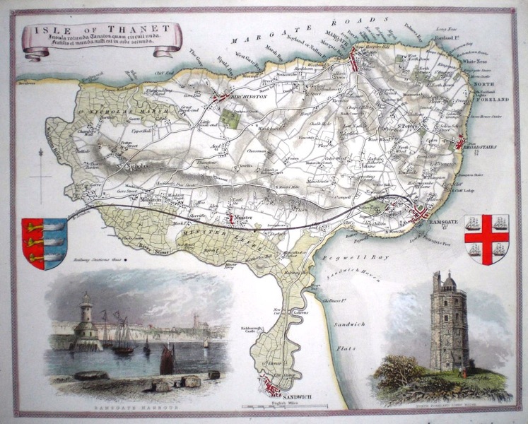
Kent 'Isle of Thanet' Moule, T (c. 1845) 27 x 21 Decorative steel engraved map of the Isle of Thanet by Thomas Moule. Inset views North Foreland lighthouse and Ramsgate. Later colour. 48.00 GBP |
|
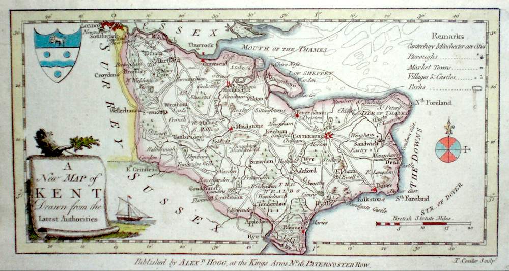
Kent 'A New Map of Kent Drawn from the Best Authorities' Conder, T. (c. 1784) 22 x 12 Finely engraved map of the county by Thomas Conder for the publication 'The New British Traveller' Features include a Coat of Arms, and decorative title cartouche. Later colour 45.00 GBP |
|
Kent Roper, J. (1810) 24 x 18 Detailed and decorative map of the county by Cole and Roper for The British Atlas. Original hand colouring. Excellent condition. 45.00 GBP |
|
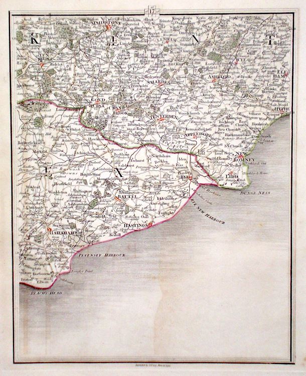
Kent Map of England and Wales Cary, J. (c. 1790) 21 x 27 Sheet 17 of John Cary's Map of England and Wales published in 81 sheets. Covers the area of Southern Kent and East Susex etc. Original colour. 40.00 GBP |
|
Kent Archer, J. (c. 1850) 24 x 18 Detailed and attactive steel engraved map of the County by Joshua Archer. Original colour. 40.00 GBP |
|
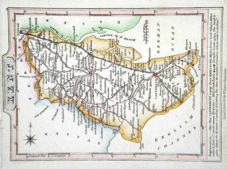
Kent Lewis, W. (c. 1835) 14 x 10 Detailed and attractive miniature map of the County by William Lewis for his "Lewis's New Traveller's Guide". A particular feature of this charming series of maps is the clear and precise engraving of the roads. Adjacent numbers indicating the distances from London. Also included with the map is the accompanying page of text giving the county information relevant to travellers - principal towns and inns are listed, distances between towns, principal fair dates, and even sites for the best views of the county. Later colour. 40.00 GBP |
|
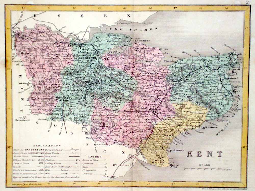
Kent Becker, F. (c. 1842) 35 x 28.5 Detailed steel engraved map of the county with original colour. Published in Fisher's County Atlas, the only cartographical work from this company. 40.00 GBP |