South East Asia
|
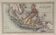
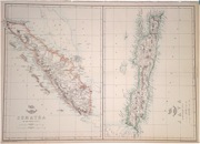
South East Asia 'East Indies' Perthes, J. (1868) 40 x 32 Finely lithographed and detailed map covering South East Asia and India. By Justus Perthes for Stieler's Hand-Atlas. Original colouring, excellent condition. 60.00 GBP |
|
South East Asia 'East India Islands' Perthes, J. (1868) 40 x 35 Finely lithographed and detailed map covering The Islands of South East Asia. By Justus Perthes for Stieler's Hand-Atlas. A table along the bottom shows all the mountain ranges of the area in height comparison. Original colouring, excellent condition. 60.00 GBP |
|
South East Asia 'East India Islands' Starling, T. (c. 1832) 15 x 9 Uncommon and finely engraved map of Indonesia, Malaysia, and Philippines area from The Royal Cabinet Atlas. Bright original colouring to the various countries. A numbered key identifies the various colonial areas of the time. 50.00 GBP |
|
South East Asia 'East India Islands' Fenner, R. (1828) 15 x 12 Highly detailed steel engraved map of South East Asia by Robert Fenner for "Fenner's Pocket Atlas". Later full wash colour 25.00 GBP |


